From winter semester 2025/26 the master's program Geomatics Engineering (GEOENGINE) will be replaced by the new master’s degree program Geomatics for Environmental Monitoring (GEM).
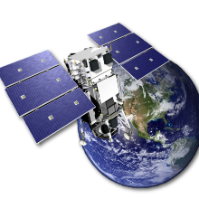
Geomatics Engineering (GEOENGINE) is the key discipline for measuring, modelling and presentation of geospatial data and processes. Recent technological developments such as global satellite navigation, autonomous navigation, driver assistance systems, digital maps, and virtual globes have enhanced public awareness for the fields of geodesy and geoinformatics. GEOENGINE meets the societal demands for a responsible use of available resources and geospatial infrastructures for sustainable development.
To enter the GEOENGINE study program prospecitve students require a qualifying Bachelor's degree in Geomatics Engineering or equivalent. Admission also requires a sound mathematical background, knowledge in geomatics as well as skills in computer programming, for example MATLAB.
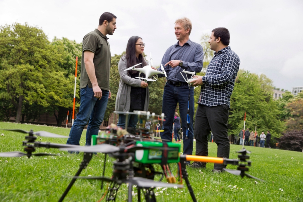
Capturing, processing and analysing the world in three dimensions using state-of-the-art technology:
- for climate research,
- navigation and autonomous driving,
- the construction and monitoring of constructions.
Geomatics engineers are professionals for advanced technologies for geospatial data acquisition and management. They are indispensable partners in urban planning, traffic management and sustainable economic development. Therefore, the GEOENGINE Master's program provides profound knowledge focused on positioning, navigation and telematics. As future executives in industry and research, graduates of this Master's program will also be proficient in the following:
- Mastering state-of-the-art technology
- Acquisition, administration and processing of geodata
- Team management
- Research in all fields of Geomatics Engineering
Studying abroad: what opportunities does the University of Stuttgart have to offer?
Are you interested in going on exchange for a semester or two? Or would you rather do some research or attend a language course? Have you ever thought of joining a Summer School or planned an internship abroad? Whatever you have in mind for your exchange, the International Office will help you make your stay abroad an unforgettable experience. The first step will be to sign up online for our information sessions at the International Office that are offered on a regular basis. We look forward to your registration!
- Studying abroad
information sessions, partner universities, language requirements, application deadlines, scholarships
Application and admission: how do I get a place at the University?
Admission Requirements
A detailed list of the application requirements is published on the study program's website.
The complete information on the admission process, required knowledge of English, and the criteria for the assessment of professional suitability can be found in the admission regulations.
Language Requirements
You need a proof of fundamental knowledge of the English language (i.e. TOEFL test, min. 550 points (paper-based testing) or 213 points (computer-based) or 80 points (internet-based) or any other proof equivalent to it (i.e. IELTS Band 6.0).)
Application period for the winter semester: December 1 – March 15
The winter semester starts in October.
How is the program structured?

The module handbook and the study program curriculum describe the individual modules with the associated courses, content and examinations.
- Curriculum and Module Handbook
Study program structure and detailed module information by clicking on the book symbol
Important Websites
Which institutes are involved in this study program?
Accreditation

Contact

Martin Metzner
Dr.-Ing.Deputy Director / Head of Section Geo-Mobility and BIM
Nico Sneeuw
Prof. Dr.-Ing.Vice Dean